- English
Languages:
This site is created using Wikimapia data. Wikimapia is an open-content collaborative map project contributed by volunteers around the world. It contains information about 32469813 places and counting.
Learn more about Wikimapia and cityguides.
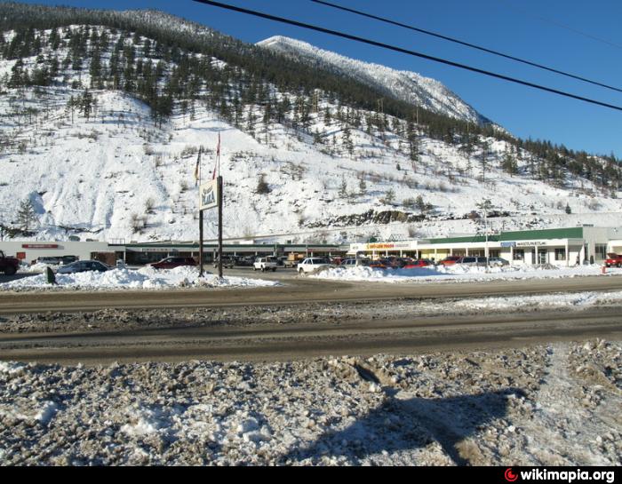
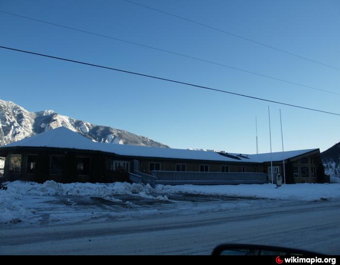
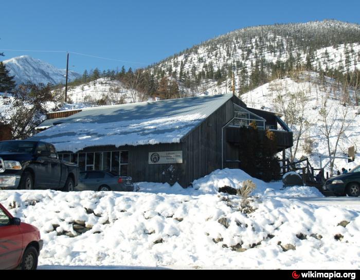
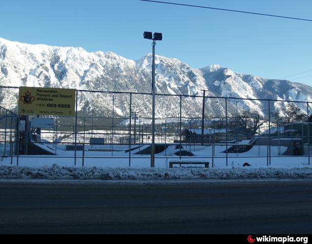
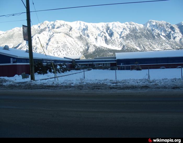
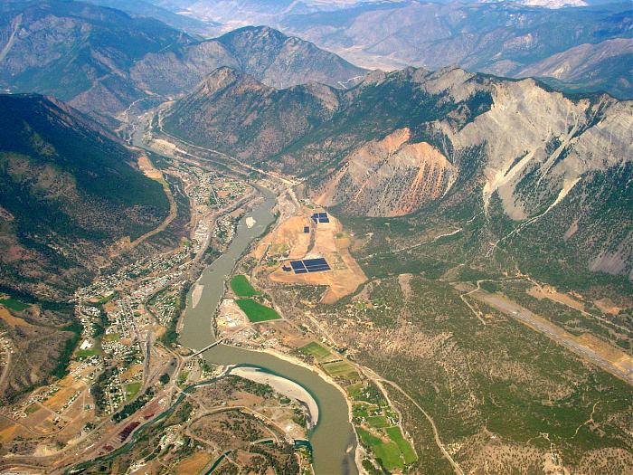
Lillooet ,British Columbia
Lillooet is "Mile 0" of the original Cariboo Wagon Road.
www.lillooetbc.com
Wikipedia article: http://en.wikipedia.org/wiki/Lillooet,_British_Columbia
Lillooet ,British Columbia on the map.